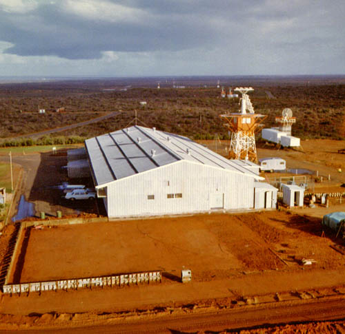
Carnarvon Tracking Station Panorama
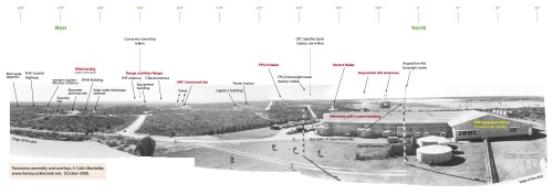
Click the image for a 6.6MB PDF panorama. It was assembled from several black and white photographs taken from the newly-completed 9 metre USB antenna in May 1966. The PDF file has two pages – the second one is the same, but without the annotations.
Or see just the labelled page as a .jpg file.
The photographs were probably taken by a Department of Supply photographer. With thanks to Trevor Mosel, Stuart Wattison (who scanned them), Paul Dench and Terry Kierans. Panorama assembled and annotated by Colin Mackellar.
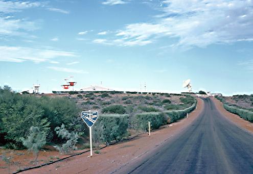
Other photos from the same set may be seen here.
