
Clive Broomfield (at Orroral from June 1966 to June 1977) preserved and scanned these photos.
Orroral Valley Tracking Station, ACT
Photos by Jim Thompson
Clive Broomfield has scanned these photos he has preserved. They were taken by Jim Thompson in the 1970s. (Thanks to Jim for permission to use them here!)
The larger versions are around 500kb each, with the full resolution scans at around 2MB.
|
Clive Broomfield (at Orroral from June 1966 to June 1977) preserved and scanned these photos. |
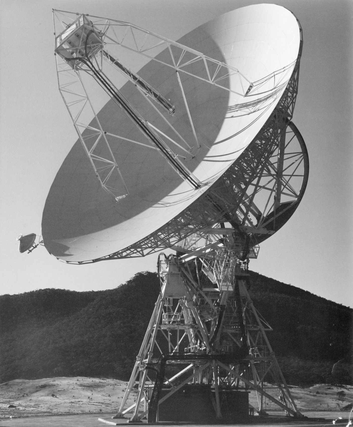 |
The Orroral Valley 26m antenna. Large, Larger (2MB). Photo: Jim Thompson. Scan: Clive Broomfield. |
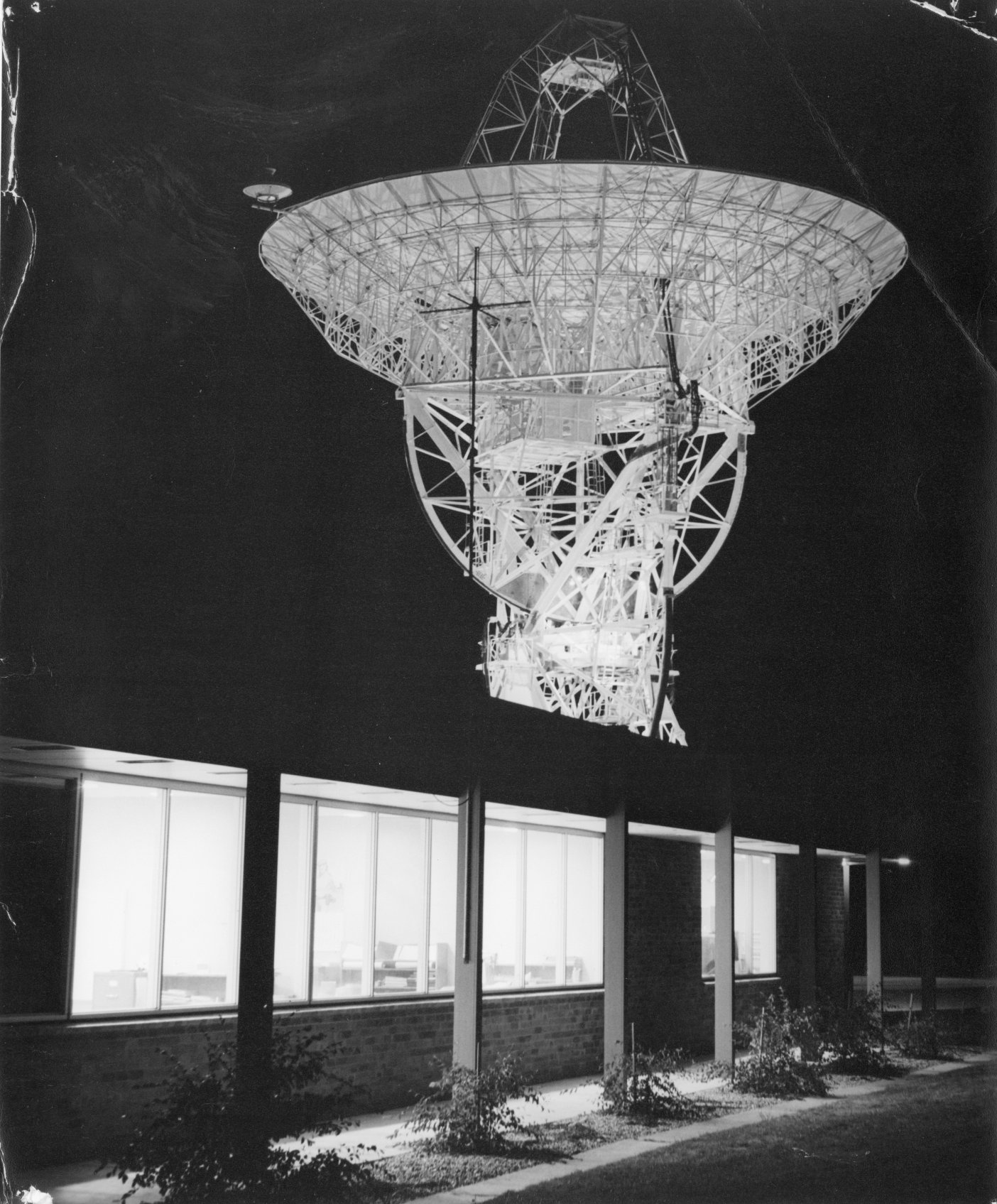 |
The Orroral Valley 26m antenna at night – in stow position. Photo: Jim Thompson. Scan: Clive Broomfield. |
 |
Gordon Owttrim on shift. Photo: Jim Thompson. Scan: Clive Broomfield. |
 |
SATAN receive antenna. Photo: Jim Thompson. Scan: Clive Broomfield. |
 |
SATAN receive antenna, close up. Photo: Jim Thompson. Scan: Clive Broomfield. |
 |
Orroral Tracking Station from the collimation Tower. Photo: Jim Thompson. Scan: Clive Broomfield. |
 |
Satellite computers processing data to down load to the SCAMA line to Goddard. Photo: Jim Thompson. Scan: Clive Broomfield. |
 |
Staff crossing the Orroral River in flood. Photo: Jim Thompson. Scan: Clive Broomfield. |
 |
Multi function receivers. Photo: Jim Thompson. Scan: Clive Broomfield. |
(Larger versions of most of these are available.)