Central Area: Around the Telemetry and Control Building
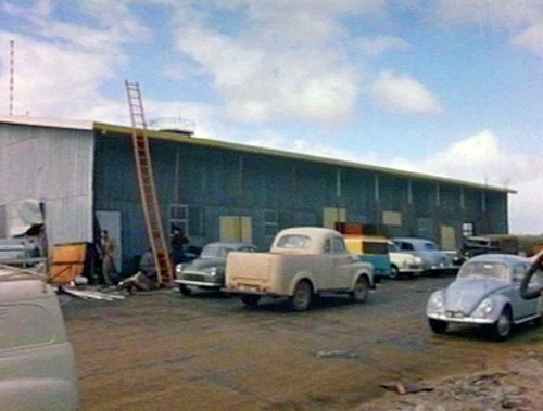 |
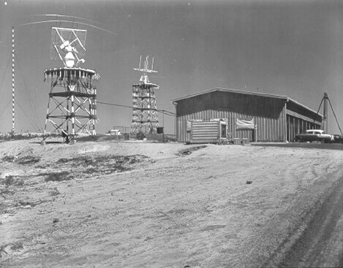
The Telemetry and Control (T&C) building during construction. Frame grab by Colin Mackellar from a Department of Supply film from the Tidbinbilla archives. |
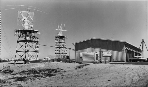 |
And here’s a cropped higher resolution version of the photo above. With thanks to Meg Travers, State Records Office of Western Australia. (State Records Office of Western Australia collection. Cons 5939, Item 1962/067.) Larger, Largest. |
 |
The T & C Building. Photo: Glenis Austin (nee Wilkerson), scan by Jenni Whyatt. |
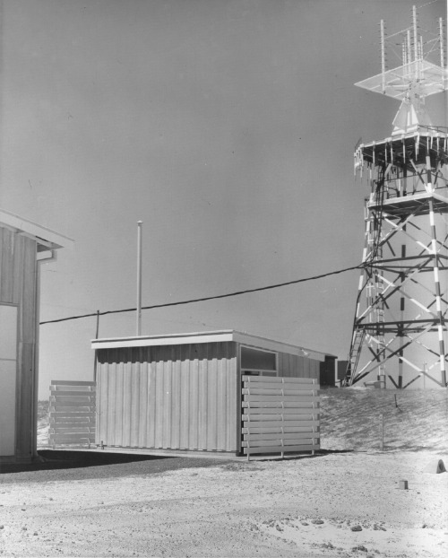 |
The Amenities block at the southern end of the T&C building, with the southern Acquisition Antenna at right. Large, Larger. Dept of Supply photo scanned by Kate Chamberlain. |
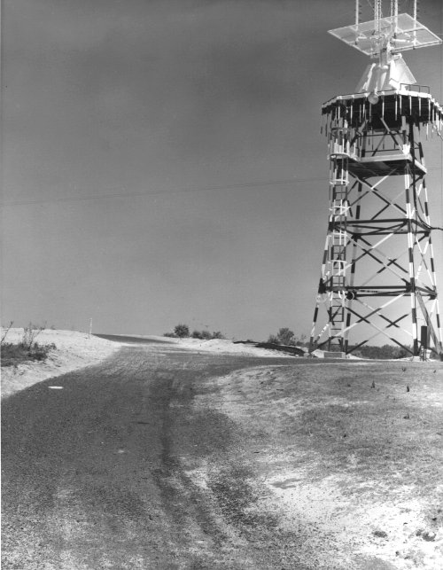 |
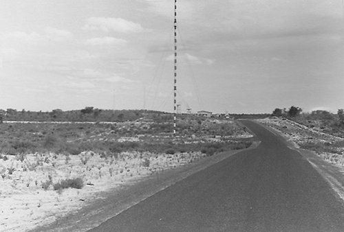
The southern Acquisition Antenna at right, from the road running between the two antennae behind the T&C Building. Dept of Supply photo scanned by Kate Chamberlain. |
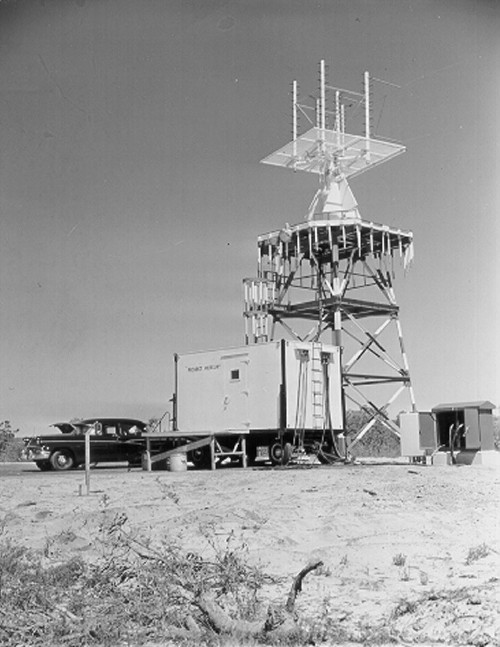 |
The northern-most of the Acquisition Aid antennas, adjacent to the T&C Building. Scanned by Tony Pelling from a photo in the Tidbinbilla archives. And here’s a cropped higher resolution version of the photo above. With thanks to Meg Travers, State Records Office of Western Australia (State Records Office of Western Australia collection. Cons 5939, Item 1962/067.). Larger, Largest. |
 |
The northern-most of the Acquisition Aid antennas. The top-most level has now been enclosed. Photo: Glenis Austin (nee Wilkerson), scan by Jenni Whyatt. |
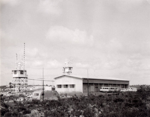 |
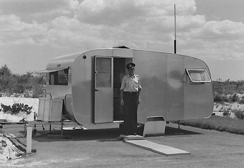
The Telemetry and Control (T&C) building with the security caravan in the foreground. 1963. Behind the building are the Acquisition Aid (Acq Aid) quad helix antennas. Photo and text: Hamish Lindsay. |
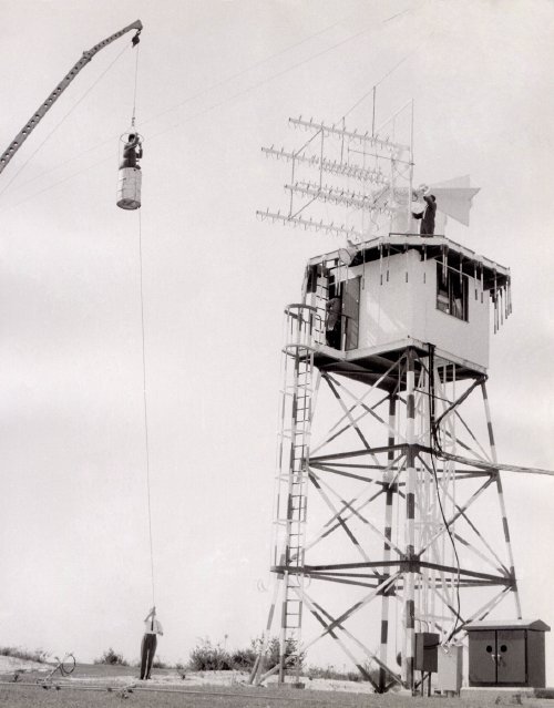 |
The original cherrypicker! A 44 gallon (200 litre) fuel drum was suspended from a mobile crane to allow access to the antennas. Here, staff work on the Command quad-helix antenna. 1963. |
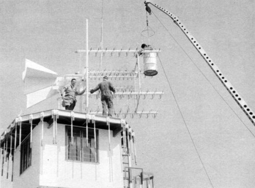 |
Another view of the operation. Photo: Hamish Lindsay. |
Southern end: Air / Ground Transmitter and Powerhouse
 |
The Powerhouse and the Ground to Air Transmitter. Looking south. Dept of Supply photo scanned by Kate Chamberlain. |
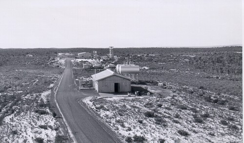 |
This photo was taken from the Ground to Air Transmitter, looking very slightly west of north. The Power House with its fuel tanks is the closest building. In the mid distance is the Pump House and the circular water tank to the right. The tower on the horizon at right – above the fuel tanks – is in the direction of Gingin and may be a microwave repeater tower. Large, larger. Compare with this frame from a 1961 film. Photo scanned by Tony Pelling. Image enhancement Colin Mackellar. |
 |
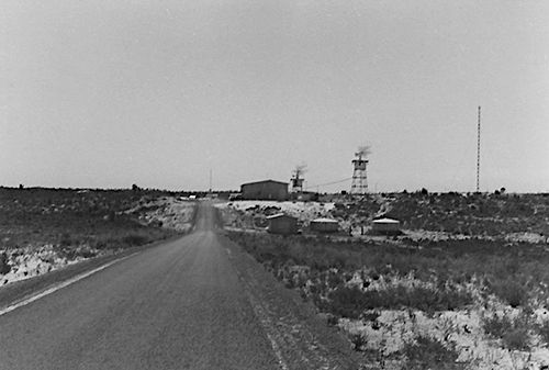 |
View from the Power House, looking north. |
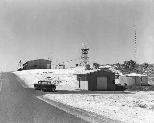 |
The Pumphouse and water tank. Looking north, part way between the Powerhouse and the T&C Building. Dept of Supply photo scanned by Kate Chamberlain. |
Northern end: VERLORT Radar
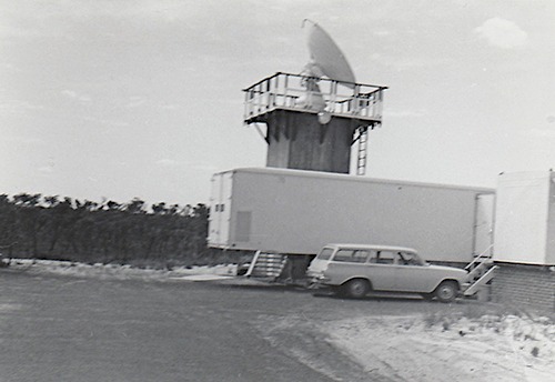 |
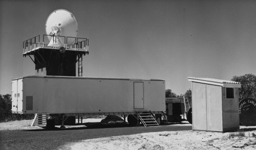
The VERLORT Radar, at the northern end of the site. Photo: Glenis Austin (nee Wilkerson), scan by Jenni Whyatt. |
Back to the Muchea main page.
