Introduction
|
The Island Lagoon Complex had three distinct components
– |
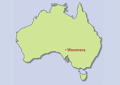
The Woomera facilities were a long way from sources of radio interference! |
Station map to go here. Does anyone have a copy of the colour WRE booklet with that station map? |
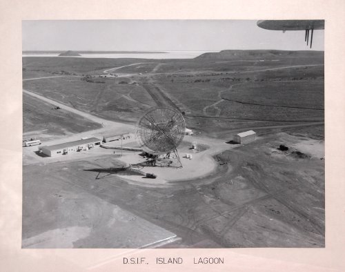
Aerial shot of site. Keith Aldworth took this picture of a photo at Woomera Museum. |
Aerial shot from the opposite direction. Minitrack in the foreground, HQ in the middle and DSIF 41 in the distance. (1965.) Largest version here. Photo: Pat Delgado. |
DSIF-41. Keith Aldworth took this picture of a photo at Woomera Museum. |
Download this Department of Supply
information booklet – It’s a 1.4Mb PDF – with thanks to Glen Nagle at CDSCC. |
Note: Island Lagoon is sometimes confused with the US / Australian Joint Defence Facility Nurrungar, which was 12km WNW of Island Lagoon. The two were quite separate and were built for entirely different reasons. Nurrungar was a ground station for satellites of the US Air Force’s Defence Support Program from 1970 to its close in October 1999. Island Lagoon is also sometimes confused with Red Lake Tracking Station (also known as ‘Woomera’ during Project Mercury). Red Lake was 64km north of Island Lagoon. |


