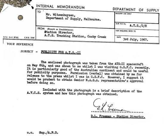
On 3rd July 1967, Cooby Creek Station Director Don Freeman wrote to Fred Witsenhuysen, the Department of Supply’s Head of Public Affairs in Melbourne and Editor of SCODOS magazine –
“The enclosed photograph was taken from the ATS-II spacecraft on May 8th, and was shown to me whilst I was visiting G.S.F.C. recently.
It is particularly good of the Australian continent and would be usefui for publicity purposes. … Included with the photograph is a brief description of the A.V.C.S. system and how this photograph was obtained.”
Don included a Goddard document with these words (click the image for a PDF file) –
CLOUD COVER PHOTOGRAPHS FROM NEW SATELLITE COVER GLOBE.
Since the U.S. National Aeronautics and Space Administration launched the satellite called ATS-2 In April of this year, a meteorological experiment of global proportions has been conducted with cameras on board the spacecraft.
The experiment is testing the Advanced Vidicon Camera System (AVCS). Two cameras obtain cloudcover pictures of the earth’s surface during each orbit, and record them on a spacecraft video tape recorder. When playback is commanded, signals are transmitted to an earth receiving station for processing and analysis.
The A.T.S. Tracking Station at Cooby Creek, near Toowoomba, Queensland, has been participating in the experiment with two allied tracking stations at Mojave and Roman, U.S.A. These stations co-operate in tracking the ATS-2 satellite, which orbits the earth every 3½ hours, reaching an altitude of 6600 miles at its furtherest point (apogee) and 120 miles at its nearest point (perigee).
This photograph was taken by a wide angle (60°) vidicon camera when the satellite was 6600 miles above mid-Pacific Ocean at 11° North latitude. It shows a clear outline of the Australian continent and extensive cloud systems over about a quarter of the globe.
The camera that took this photograph has a field of view designed to cover the earth’s disc when the spacecraft is about 6000 miles from the earth. It has a 12 m.m. focal length, and used an exposure time of 40 milliseconds to form the image on a light sensitive area about ½ inch square. It takes 6 seconds to electrically scan the image and store it on a tape recorder. In this way about 50 pictures can be taken and stored until a command signal is sent from either Cooby, Creek, Rosman or Mojave to transmit the pictures to earth via a microwave radio link.
The original photograph is reconstituted using elaborate equipment to scan 833 horizontal lines to correspond with the scanning process in space.
Part of the AVCS system is a narrow angle (4.4°) camera which is used to taken high resolution photographs of an area 400 miles square. The ground resolution is † mile when the spacecraft is at 6000 miles altitude compared with 10 miles for the wide angle camera.
The AVCS cameras were designed to take three cloud-cover photographs every 15minutes while the spacecraft moved in a circular orbit at a height of 6000 miles. In spite of the failure of the spacecraft to achieve its design-orbit and to provide a stable platform in space, pictures of excellent quality have been received through the AVGS.
The AVCS experiment demonstrates that operational satellites can be designed to photograph global weather patterns from a “bird’s eye view”, and that high quality photographs can be reproduced on earth. Meteorologists will then have valuable information to supplement conventional types of weather observations, and a basis for studies which will advance meteorological science.
From the Tidbinbilla archives.
Scan and PDF assembly: Colin Mackellar. |