
This view of COTAR Hill was taken from the hill 1km ESE of COTAR Hill – large, larger.
Ascension Island views
|
This view of COTAR Hill was taken from the hill 1km ESE of COTAR Hill – large, larger. |
 |
Tom has swung the camera a little to the right for this next photo. Photo: Tom Sheehan. |
 |
View of a C-130 just landed. Photo: Tom Sheehan. |
 |
This panorama shows the C-130 on approach at Wideawake Airfield, while the right hand photo was taken after it had landed. |
 |
This assembled panorama uses four photos taken by Tom. |
 |
The TPQ-18 radar (a transportable version of the FPQ-6) on COTAR hill. |
 |
A Douglas C-133 Cargomaster at the airstrip. Photo: Tom Sheehan. |
 |
The US base area. Photo: Tom Sheehan. |
 |
Housing. Photo: Tom Sheehan. |
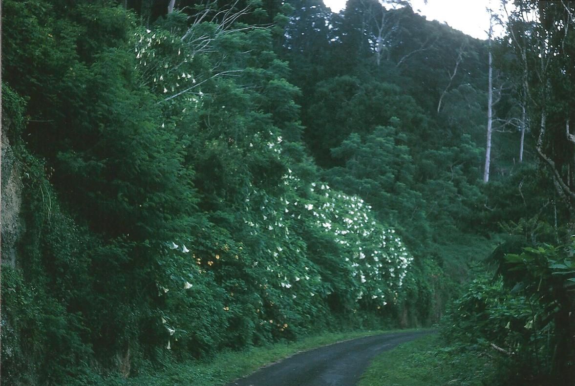 |
The road up Green Mountain. Photo: Tom Sheehan. |
 |
Green Mountain Village. Photo: Tom Sheehan. |
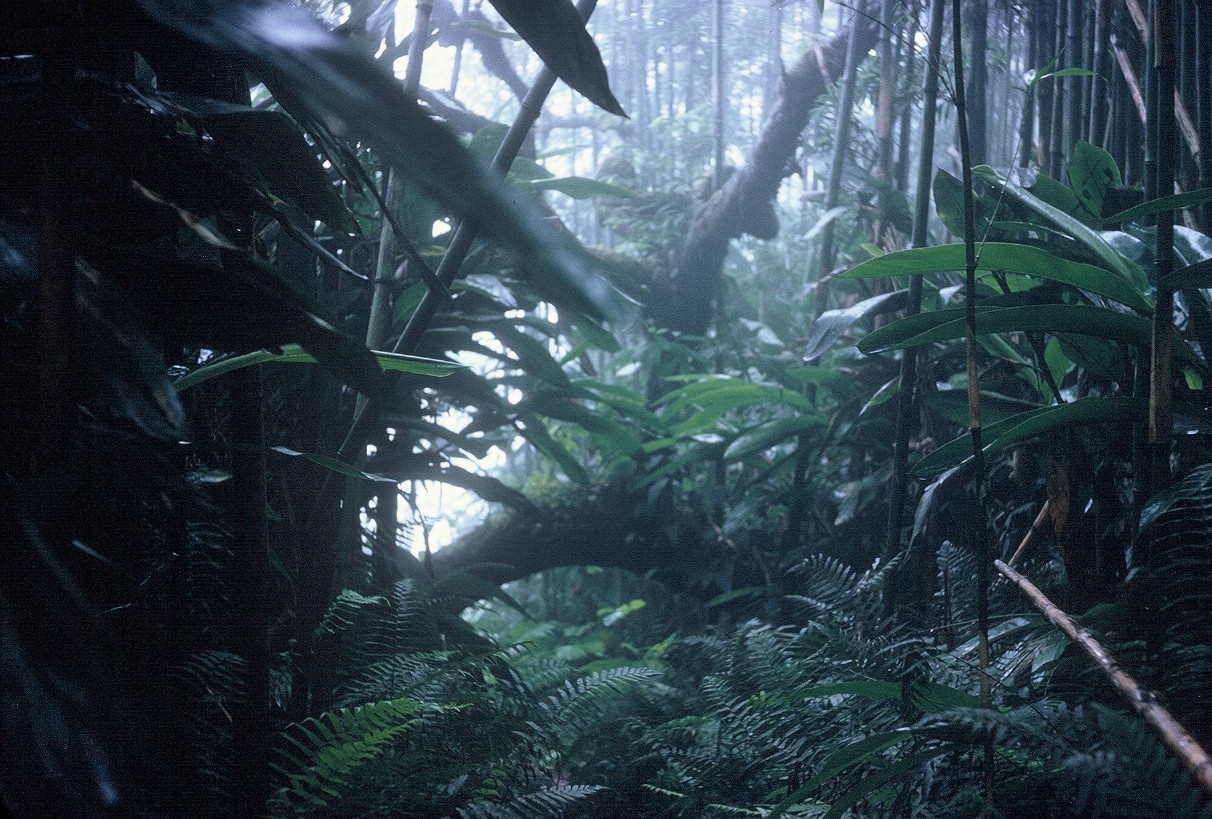 |
This photo was taken “just past the Cable & Wireless village in the bamboo rain-forest. This is on the downwind (rainy) side of Green Mountain. A few hundred meters past this and you get onto the upwind side that is bare volcanic stuff.” Photo and text: Tom Sheehan. |
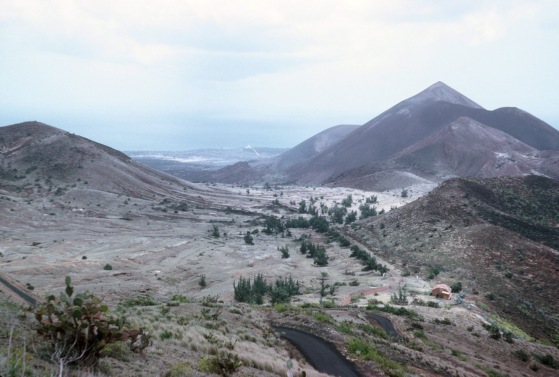 |
Looking down from the road up to Green Mountain. Photo: Tom Sheehan. |
 |
Tom Sheehan is standing on Telemetry Hill with the TLM-18 in the background. |
 |
The ramp area with the TPQ-18 in the background. Photo: Tom Sheehan. |
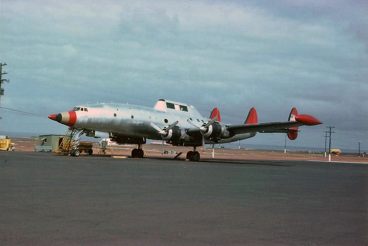 |
A modified USAF C-121. It was an ARMY resource; part of the Down-range Anti-missile Measurement Program (DAMP). Tom writes that it was a ‘permanent-party’ at Ascension for years. Photo: Tom Sheehan. |
 |
The TPQ-18 and ramp area. Photo: Tom Sheehan. |
Syd Buxton visited Ascension Island with the RAF and shared these photos, taken in March 2002.
 |
Ascension Island. Photo: Syd Buxton. |
 |
Ascension Island. Photo: Syd Buxton. |
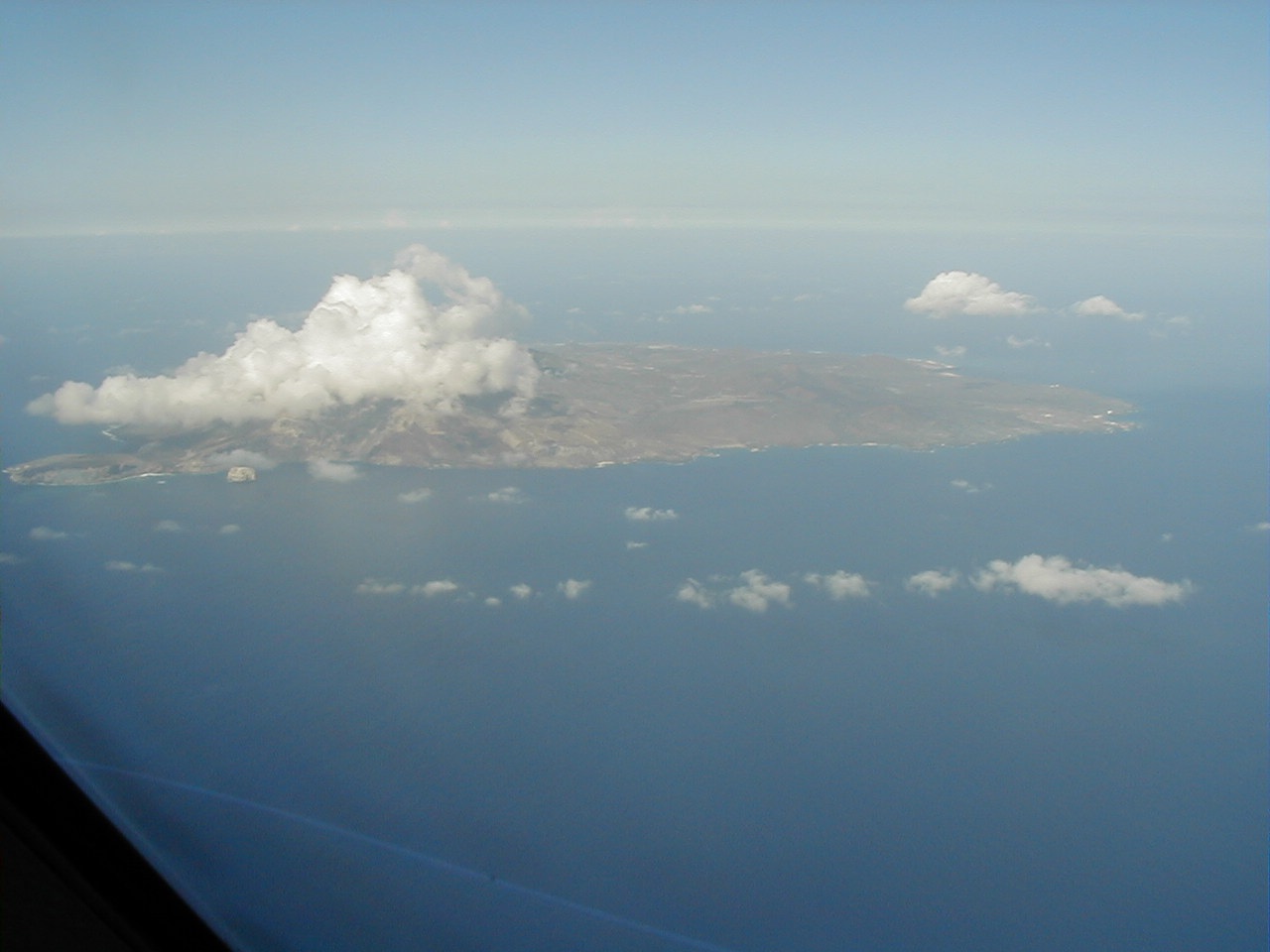 |
Ascension Island. Photo: Syd Buxton. |
 |
Looking towards Green Mountain from underneath the Royal Air Force VC10 K4 tanker at Wideawake Airfield. Photo: Syd Buxton. |
Andy Townshend also visited Ascension Island with the RAF between May and June 2000. He took these photos from his VC10 K4 reg ZD235.
 |
Ascension Island. Photo: Andy Townshend. |
 |
Ascension Island. Photo: Andy Townshend. |
 |
Ascension Island. Photo: Andy Townshend. |
 |
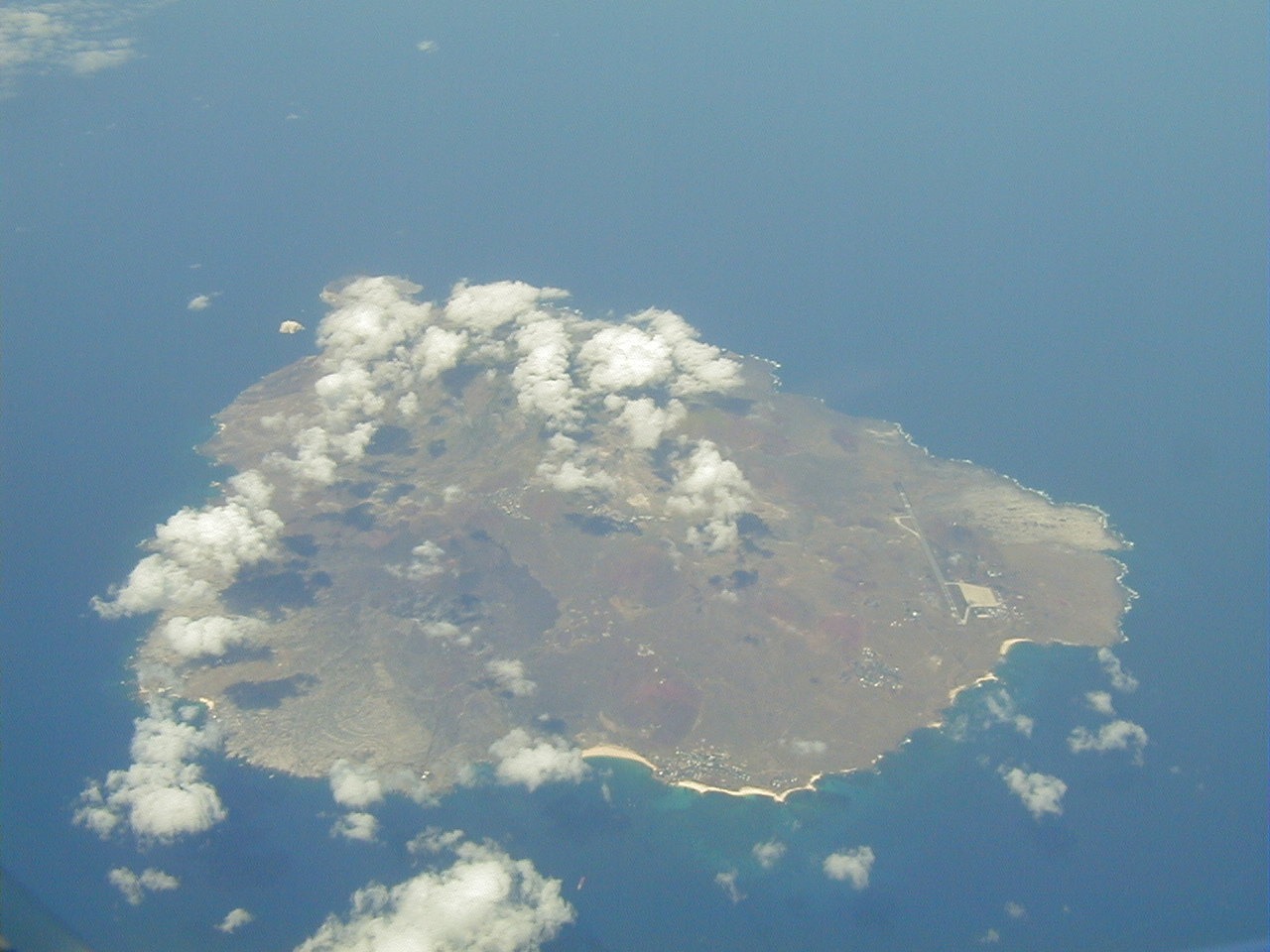
Looking down on Wideawake Airfield. Photo: Andy Townshend. |
 |
Ascension Island. The site of the former NASA station is at lower right, hidden beneath the clouds covering The Peak. Wideawake Airfield is at left. Photo: Andy Townshend. |
 |
Volcanic terrain looking towards Sisters Hill. Photo: Andy Townshend. |