The NASA Red Lake Tracking Station, built to
support the Mercury Project, was co-located with the Woomera Range Red Lake FPS-16
Radar.
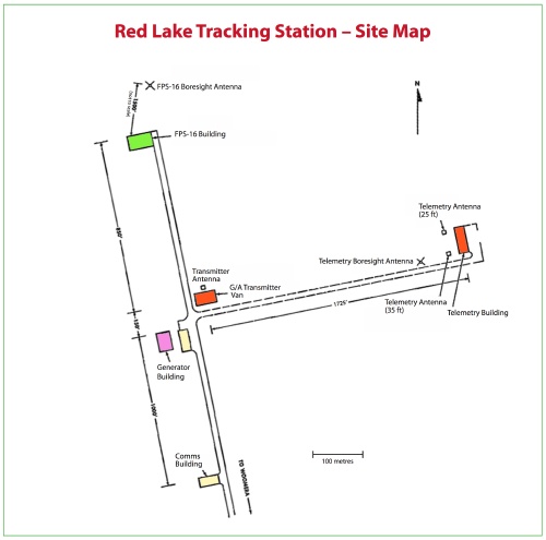 |
Red Lake Site Map Click the image for a 160kb PDF file. |
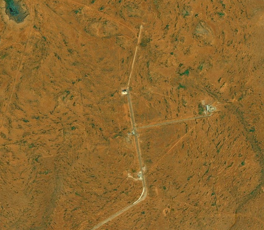 |
Red Lake Site – satellite image. |
T & C Building floor plan
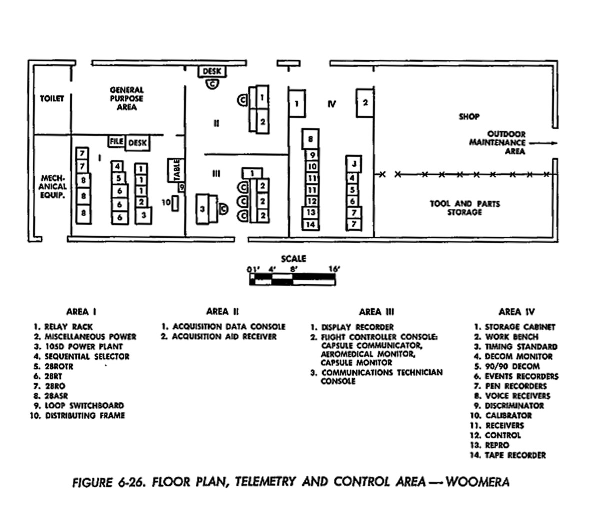 |
Red Lake Telemetry and Control Floor Plan |